
Looking Up Laguna Niguel Neighbors
A block lookup combines physical geography with narrow records. The city GIS can show adjacent parcels, APNs, tracts, lots, HOAs, zoning, General Plan context, and utility-provider fields. The county Surveyor viewer can show parcel and tract records, annexations, surveys, measurements, and time layers. The recorder can index documents tied to each APN. The Assessor's value query can return value and exemption fields one parcel at a time.
| Source | What it shows about a block | Access |
|---|---|---|
| Laguna Niguel GIS | Adjacent parcels, APNs, tracts, lots, HOAs, zoning, plan geography | Free map by address or APN |
| OC Surveyor GIS | Survey, tract, parcel, annexation, time, and measurement context | Free public viewer |
| Recorder APN index | Recorded parties and documents connected to each collected APN | Free 1982-current index; copies paid |
| Assessor value query | Land, improvement, exemption, and net value fields | Free APN query |
| HOA map and resources | Association, gated status, private streets, units, master HOA | City map and public contact route |
| Neighborhood Watch | Organizing and safety contact layer | Coordinator contact; no public roster |
Those sources make a useful block map without claiming that every parcel owner, household member, visitor, or protected participant is visible. The block is a geography first.
Build a Laguna Niguel Block From Parcels
Use the city viewer to search the seed address. Zoom until parcel lines are clear. Select the parcels immediately beside and across from the seed, then record each APN, tract, lot, HOA, and planning context. The process is simple, but the notes matter because a map click without the APN is hard to carry into a county record.
The block flow is: seed address → city parcel popup → adjacent APNs → county value query → recorder index → lawful community contact. The county Surveyor viewer becomes the next step when the question involves a physical block, road-right-of-way, measurement, survey, annexation, or older parcel map. A full named-street search belongs with the Laguna Niguel by-street chain.
- Search the seed address and save the parcel popup fields.
- Click the parcels directly beside and across from the seed.
- Use Draw and Measure when a block edge or road segment needs a defined boundary.
- Query each APN separately in the assessor and recorder systems.
- Use HOA or Neighborhood Watch contacts only for the community route they actually provide.
The adjacent-parcel method produces a map of land and recorded evidence. It is not a public roster of neighbors.
Measure the Laguna Niguel Block
The county Surveyor GIS adds depth that a street map cannot. Search modes include Record of Survey, Parcel Map, Tract Map, Corner Record, Lot Line Adjustment, Topographic Survey, County Surveyor Tie Book, and Alignment Note. Search fields can include city, date range, APN, legal description, parcel address, parcel number, and road-right-of-way dimensions. Tools include Draw and Measure, Time Filter, Street View, and layers for annexations, flood parcels, assessor maps, tract maps, and survey maps.
Use the city GIS for HOA, zoning, General Plan, and local planning context. Use the county viewer for a recorded geometry or historical boundary. If a neighbor question involves a gated or private street, the map layer may explain the physical setting while the HOA resource identifies the public contact route.
The city Public GIS maps are the starting point for the seed address and nearby parcel selection.
The Orange County electronic-recording milestone provides context for the county's modern recording channel.
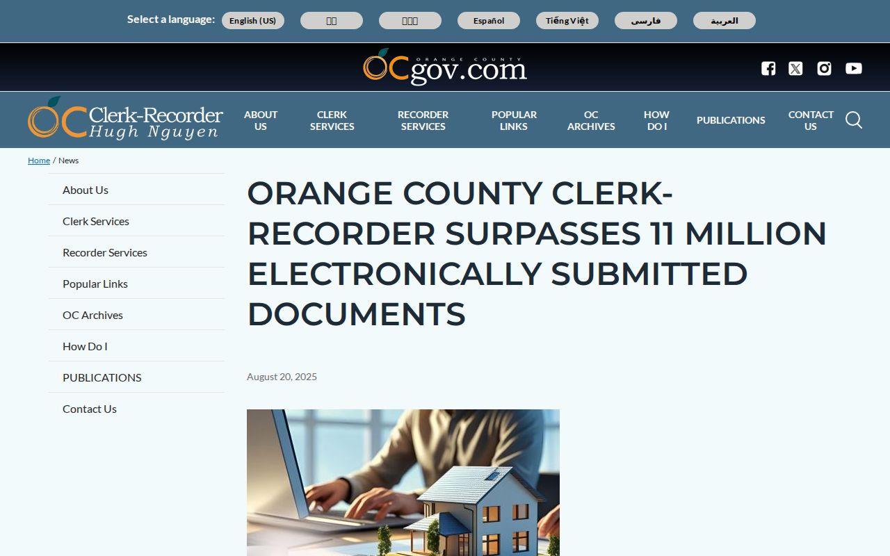
Map and recording layers work together: one defines the block, the other supplies the recorded-document trail.
Use Each APN for Laguna Niguel Neighbors
After collecting the adjacent APNs, query them one at a time. The Assessor value screen can show land, building, improvement, exemption, and net value fields. It does not show a full owner or occupant roster on the inspected page. The recorder's APN mode can identify indexed parties, document types, recording dates, instruments, and legal descriptions where indexed. A deed party is a recorded transaction role, not automatically a current neighbor.
For a block-level title check, save the APN, instrument number, date, grantor or grantee role, document type, and legal description. If the instrument is before January 4, 1982, follow book, page, and microfiche references to Santa Ana. If a public record is needed from the city, use a focused City Clerk request with the address, APN, record type, and date range.
The recorder's electronic index has a useful party-name link for connected documents from 1982 forward, but it is still index-only. Copies are ordered after the document is identified. That limit keeps the neighbors search tied to a defined record rather than a broad list.
HOA Geography Around Laguna Niguel Neighbors
Recent city planning material describes more than 120 HOAs and nearly 200 named neighborhoods or subdivisions. The city HOA map can identify an association, map index, gated status, private streets, unit count, and master HOA. It does not publish a member directory. Corrections to the city HOA resource go to hoa@cityoflagunaniguel.org. The newsletter form collects first name, last name, email, HOA name, and HOA position, with optional phone and management-company fields.
City HOA resource
Association and map context
hoa@cityoflagunaniguel.org
Public map and correction route
Neighborhood Watch
Community safety organizing
949-362-4365
AAnayaLopez@ocsheriff.gov
HOA geography can explain why adjacent parcels share a gate, private road, or master association. It does not authorize a searcher to obtain a private roster. An association may publish a contact directory on its own terms, but no public member list was located.
The city map resource is the official route for the HOA layer.
Older Laguna Niguel Non-HOA Neighborhoods
The city research identifies Crown Park, La Veta, Niguel Hills, Pacesetters, and Vista Del Niguel as older non-HOA neighborhoods. A block in one of those areas may not have the association map, gated-status field, or master-HOA contact that appears elsewhere. That absence is a geography clue, not a missing person list.
For those blocks, use tract, lot, APN, zoning, permit, deed, and city planning records. A historical society photograph or newspaper can add a date. A directory, if a regional volume covers the address, may add an occupant snapshot. Older records may use county-era geography because the city incorporated in 1989.
Keep the neighborhood name as a descriptive label and the APN as the record key. That pairing can carry a block question through changes in postal language, association status, and city administration. The Orange County voter lookup remains an identity-gated service.
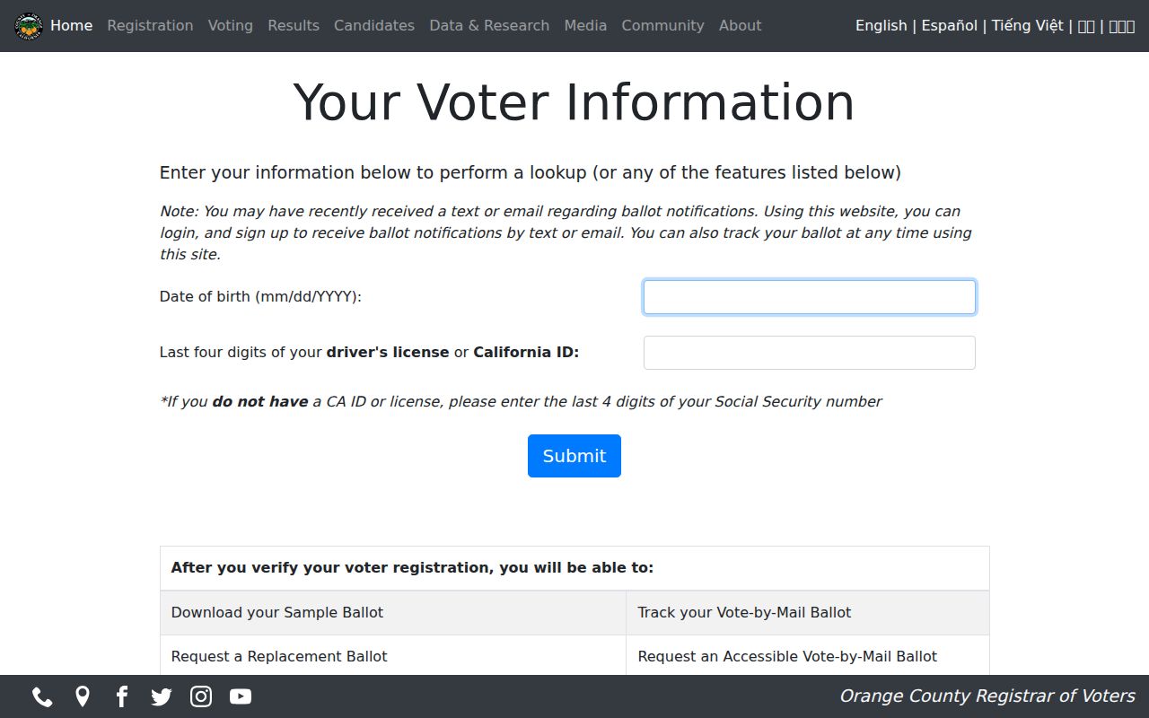
County systems add a different layer from neighborhood geography and should be read as separate evidence.
Laguna Niguel Neighborhood Watch
Neighborhood Watch can be organized by residents in an apartment complex, tract, mobile-home park, community center, or park. The research identifies Andrea Anaya Lopez at AAnayaLopez@ocsheriff.gov and 949-362-4365 as a contact. The program is a way to organize safety information and community communication. It is not authority to obtain a private roster or to identify every person at an address.
Use the program when the goal is a lawful community question, a safety meeting, or a block-organizing route. A church, club, HOA, or community group may choose to publish a directory, but the organization controls its terms. The lack of a public list is normal and should not be filled with guesses from parcel or voter data.
For a current address chain, use APNs and official custodians. For historical occupants, use the collections and records described in the past-resident workflow.
Laguna Niguel Block Voter Data
California voter data can include residence and mailing addresses, registration status, party preference, precinct, participation history, and other fields only through controlled release. Elections Code §2194 limits recipients to approved election, scholarly, journalistic, political, or governmental purposes. Personal, commercial, advertising, solicitation, marketing, and harassment uses are prohibited. My Voter Status is a self-lookup, not a neighbor-name search.
Orange County's file request requires an approved purpose, wet signature, payment, supporting documents, and a government photo ID copy for a mail request. Protected voters are excluded. Driver-license or ID fields, Social Security numbers, signatures, and unique identifiers remain confidential. Historical poll books or registers should be sought through the Archives route, but exact local year runs were not established.
The California voter-file request guidance describes the approved-purpose channel.
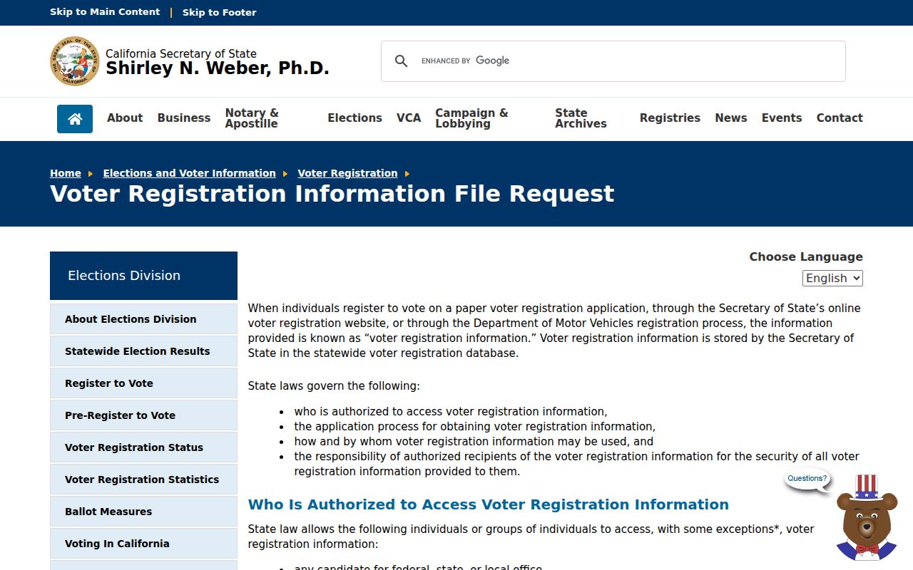
The application route shows why a block map cannot be converted into a public voter roster.
The Orange County voter-data request page adds the county purpose, payment, identification, and delivery details.
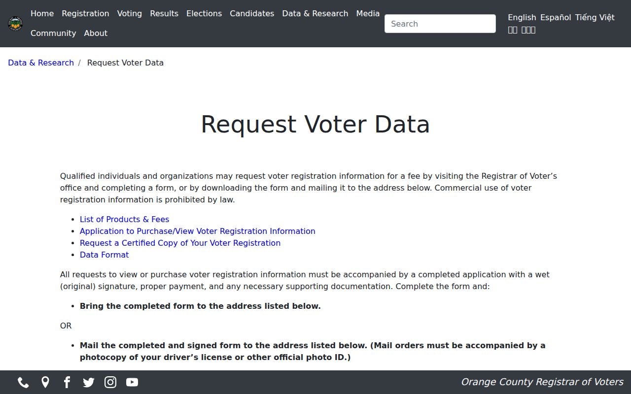
Those requirements keep block-level voter information inside a controlled release process.
Laguna Niguel Rolls Versus Neighbor Tools
Official records and commercial neighbor tools are not interchangeable. An official source names the custodian, record type, date, identifier, and correction route. A commercial compilation may merge public fragments with marketing data or inferred links. It can be stale, combine same-name people, or attach an address to the wrong role. Treat any unofficial result as a lead that requires verification through the originating office.
| Source type | Strength | Limit |
|---|---|---|
| City GIS | Parcel and planning geography | No complete household list |
| Recorder index | Recorded party and document trail | Index-only; not every resident |
| HOA or civic contact | Community communication route | No public member roster |
| Commercial compilation | May suggest a lead | Unknown matching, freshness, and source chain |
The best neighbors workflow stays narrow: map the adjacent parcels, identify the record question, contact the correct community channel, and verify any material fact with the source office.
Privacy Limits on Laguna Niguel Neighbors
A parcel owner is not every neighbor. Non-owner occupants, household members, minors, visitors, utility customers, delivery recipients, and protected participants may not appear in public records. Safe at Home can supply a substitute address and confidential voter route for eligible participants. DMV data is protected under the federal DPPA. Court, adoption, parentage, juvenile, and sealed records have their own restrictions.
California Penal Code §646.9 covers stalking, §653.2 can address electronic publication intended to cause unwanted contact or harassment, and §530.5 covers identity misuse. The legal line matters even when a parcel map is public. Use nearby-parcel records for community knowledge, property context, personal safety awareness, and lawful reconnection, never to watch, intimidate, or harm a person.
The California DROP explanation describes a separate way to address commercial copies of personal data. It does not erase a city map, deed, or court file.
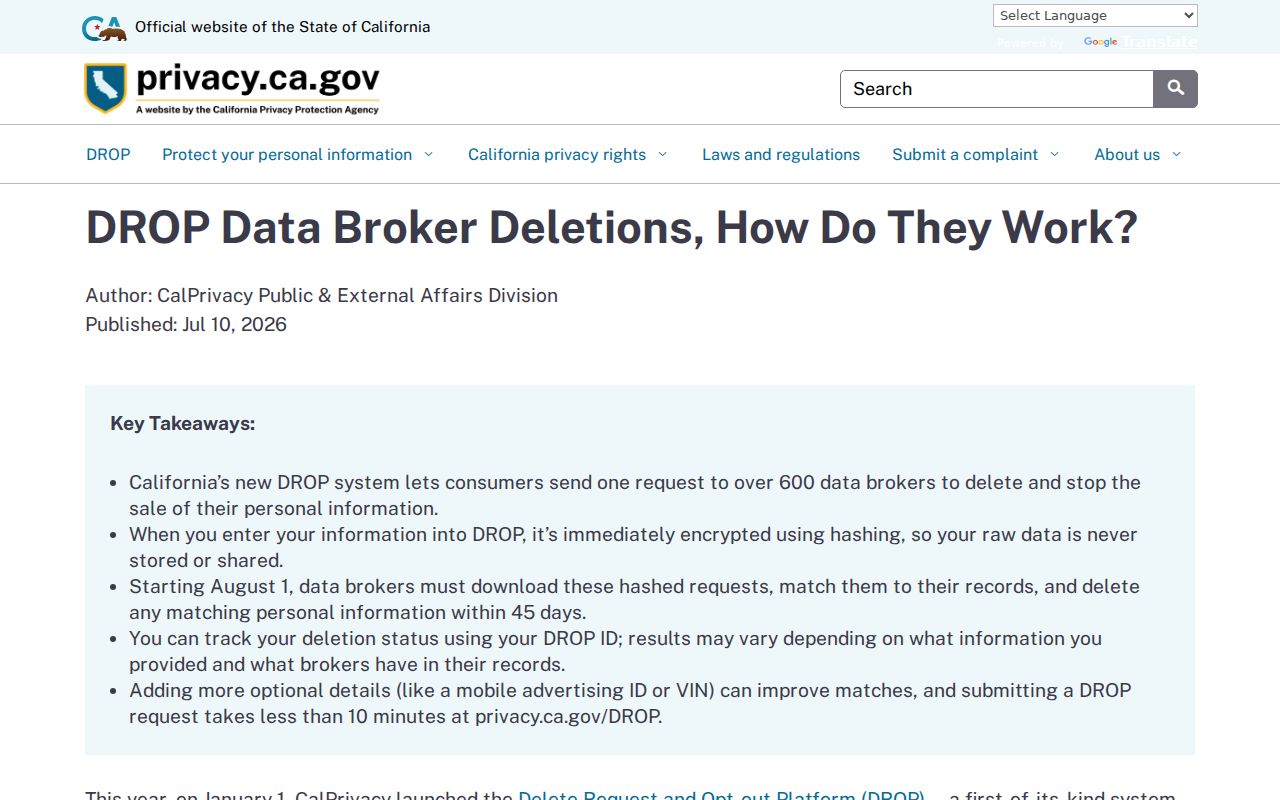
Privacy requests and public-record corrections reach different custodians.
Lawful personal use. Laguna Niguel neighbors research should stay tied to a block, parcel, family-history, civic, or safety question. Verify the custodian's record and do not publish private contact details.
The state privacy program and the original custodian are the right places to ask about correction or protection. A map cannot override a confidentiality rule.