
Laguna Niguel ZIP Codes and Coverage
Postal codes describe delivery routes. They do not, by themselves, describe a parcel, an HOA, a city boundary, or every person connected with an address. The coverage table is the starting point for the Laguna Niguel ZIP code directory because it distinguishes the standard street-delivery code from the PO-box code and identifies the unconfirmed edge codes.
| ZIP | Type and postal city | Coverage | Post-office note |
|---|---|---|---|
| 92677 | Standard, Laguna Niguel | Primary street-delivery ZIP; ZCTA boundary is not the city limit | USPS L012 assigns it to Laguna Niguel |
| 92607 | PO Box, Laguna Niguel | Non-geographic PO-box ZIP, not a neighborhood polygon | Grouped with 92677 in USPS L012 |
| 92629 | Adjacent postal area | Edge addresses require one-at-a-time verification | No local parcel confirmation in the research |
| 92653 | Adjacent postal area | Edge addresses require one-at-a-time verification | No local parcel confirmation in the research |
| 92656 | Adjacent postal area | Edge addresses require one-at-a-time verification | No local parcel confirmation in the research |
The research did not verify a ZIP split or realignment date. It did verify that no official local portal offers a ZIP-wide owner or resident search. ZIP narrows postal geography. The parcel and street records do the identity work.
92677 Is Laguna Niguel's Delivery ZIP
ZIP 92677 is the standard street-delivery code associated with Laguna Niguel. It is the most useful ZIP for sorting ordinary street addresses, but a postal city label remains a routing label. To confirm a particular address, use the USPS ZIP Code Lookup and enter the complete address. Then compare the physical location with the Laguna Niguel Public GIS Viewer.
USPS can verify the mailing ZIP and city format. The city map can identify the APN, tract, lot, HOA, zoning, General Plan designation, coordinates, and electric provider. Those answers should be kept in separate fields. A correct ZIP code does not prove that the parcel sits inside a city limit, and a city parcel does not make the ZIP a resident directory.
The USPS tool is the right first check when a directory, deed, obituary, or older note has a possibly mistyped ZIP. Save the returned mailing format and the date checked.
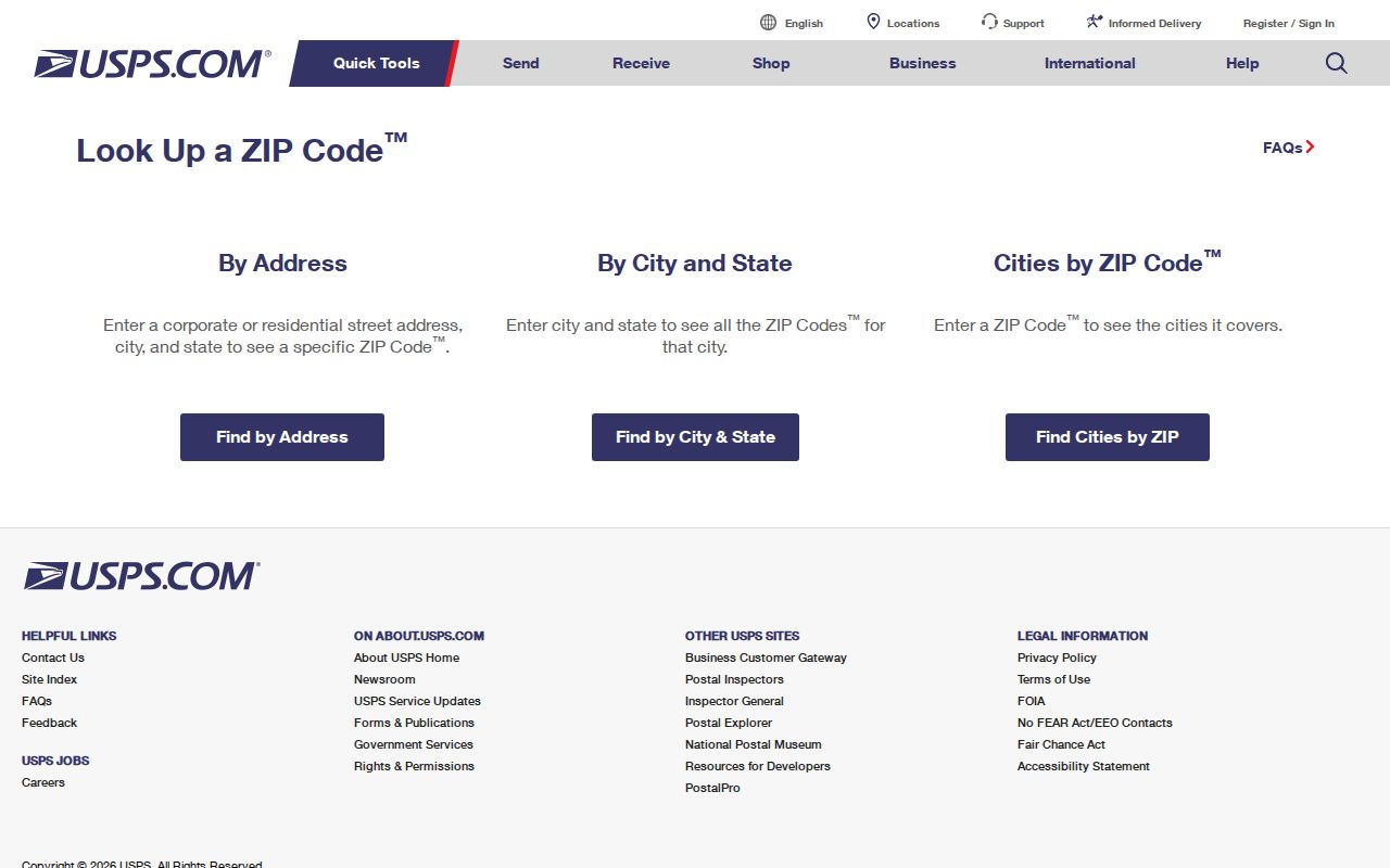
The USPS result establishes the delivery code, which can then be tested against a parcel rather than treated as the parcel itself.
Laguna Niguel's 92607 PO-Box ZIP
ZIP 92607 belongs in a separate row in the Laguna Niguel ZIP code directory because it is a PO-box ZIP. It should not be shaded as a residential neighborhood or used to draw a street boundary. A PO-box code identifies a postal receptacle route. It does not tell the searcher which parcel, tract, or household is behind a mailing contact.
- Street-delivery ZIP
- A code used by USPS to route mail to street addresses in a delivery area.
- PO-box ZIP
- A code associated with post-office boxes rather than a continuous geographic neighborhood.
- ZIP+4
- An added four-digit delivery segment that refines a ZIP code for a particular route or group of addresses.
- Carrier route
- A delivery path used by the postal system; it is not a legal parcel boundary.
The USPS L012 assignment groups 92607 with Laguna Niguel 92677. The meaning remains different. A person who supplies a PO-box ZIP has not supplied a street location. A record that prints 92607 should be checked for a box or mail-only address before it is compared with GIS.
Finding Laguna Niguel Records by ZIP
A ZIP-keyed search works as a funnel. First verify the postal code. Next decide whether the goal is a mailing address, a parcel, a public statistic, or a person-specific record. Then use the source built for that goal. The local assessed-value screen is APN-only. The city GIS is address or APN. The voter-status portal is identity-gated. The recorder index uses APN, name, legal description, dates, or instrument references.
- Run the complete mailing address through USPS and record the ZIP and postal city it returns.
- Search the same address in the city GIS, then save the APN, tract, lot, and HOA.
- Use the APN in the county value query or recorder index; do not expect a ZIP-wide owner result.
- For election statistics, use Orange County Data Central; for a person, use the lawful record type that can confirm the fact.
- When a ZIP and city conflict, trust the specific USPS address result for delivery and GIS or the responsible custodian for jurisdiction.
Once a ZIP narrows to a named road, the full address chain belongs on the Laguna Niguel street directory page. ZIP is the filter, not the final evidence.
ZIP Search Fields and Local Limits
No official local resident or owner portal with a ZIP filter was located. That absence is a finding, not a missing step. The tools in the research use other keys. The assessor value screen accepts an APN. The city GIS accepts address or APN. The recorder offers APN, legal description, name, dates, document number, and book/page modes. The state voter tool asks for identity details.
| Portal | Actual search key | ZIP role |
|---|---|---|
| USPS ZIP Lookup | Complete mailing address or city/state and ZIP | Verifies postal routing |
| Laguna Niguel GIS | Street address or APN | Maps the physical parcel behind the address |
| Assessed-value query | APN in 999-999-99 format | No ZIP search; returns value fields |
| Recorder index | Name, APN, legal description, date, document, book/page | No ZIP search; returns indexed parties |
| My Voter Status | DOB, identifier digits, first-name characters | No open ZIP search |
The search-field table prevents a ZIP code directory from promising capabilities the official portals do not have. For a research request, name the ZIP only as a geographic limit and identify the APN, address range, record type, and date range that the custodian can actually use.
ZIP Lines Versus Laguna Niguel Limits
A ZIP boundary and a city boundary are different systems. USPS assigns delivery routes. The Census Bureau's ZCTA is a statistical approximation. City GIS shows parcels and planning geography. Orange County controls county-era title and assessment records. A mailing label can say Laguna Niguel while a nearby parcel or service responsibility follows another jurisdiction. The reverse can also happen at an edge.
The research did not verify a citywide ZIP split, realignment, or official edge-address list. Verify each disputed address through USPS and the city map. Do not infer a city limit from a ZIP alone. Use tract, lot, APN, legal description, and annexation layers when the record is old or the label is inconsistent.
The same care applies to a name. A ZIP shared by many streets is not a second identifier. Pair it with the date, parcel, case, license, entity, or record number that belongs to the relevant person. The Orange County Data Central reports provide area counts rather than a name list.
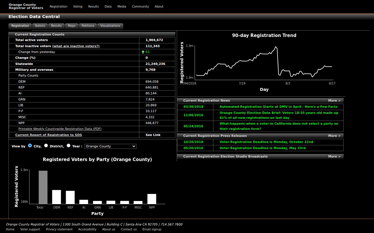
County data tools illustrate the difference between an area statistic and a person-specific record.
Laguna Niguel Roads Shape ZIP Clues
Crown Valley Parkway, Alicia Parkway, Golden Lantern, and Niguel Road cross a landscape of loops, cul-de-sacs, gates, private streets, and tract phases. The road pattern makes the ZIP code useful for broad sorting but weak for exact location. Two addresses with the same ZIP can sit in different HOA, tract, planning, or service contexts.
When an older source gives only a ZIP and a surname, start with newspapers, directories, a business filing, or an estate record to recover a street or organization. Do not push a ZIP into the assessor or recorder as though it were a supported field. The city map can test the recovered street, and the APN can carry the search into county records.
Open-space and HOA layers add local geography, but private HOA member lists were not found. A ZIP directory should describe those layers as context, not as public rosters.
Laguna Niguel 92677 Safety Records
Some state search tools use a ZIP as one optional location field, but they are not resident directories. California Megan's Law offers name, map, and address modes with statutory-use warnings. The search should be limited to the registry's published purpose and displayed fields. It does not establish that every person in a ZIP appears there, and it should not be used to infer a broader neighborhood population.
Orange County Data Central can show current county and city registration statistics and downloadable reports. Those are counts and election geography, not a list of names. A voter file request is separate and requires a qualifying purpose under Elections Code §2194.
The California Megan's Law search is the official registry route reflected in the research.
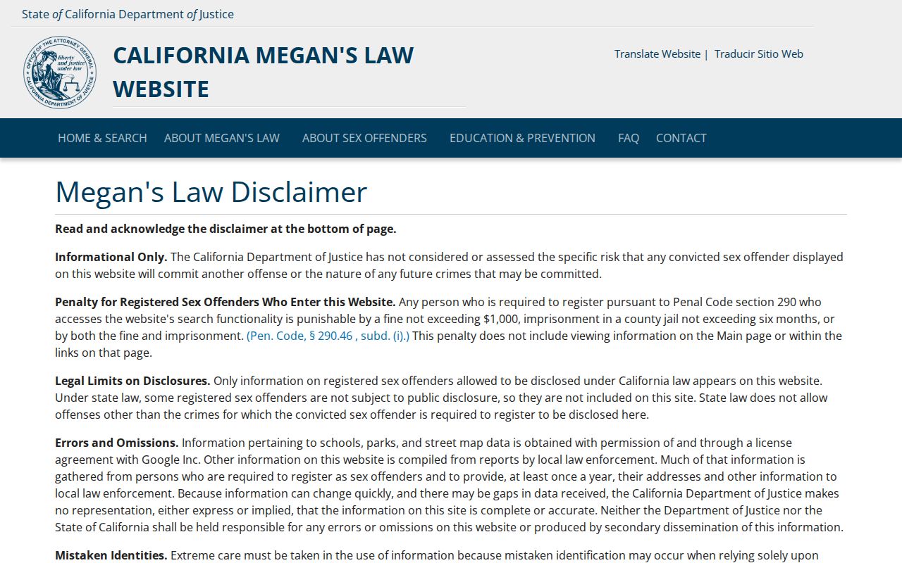
A public safety registry has a narrow statutory purpose and should not be confused with the ordinary ZIP directory.
Pre-1989 Laguna Niguel ZIP Records
Laguna Niguel's incorporation date is a major continuity marker. Construction and administration before December 1989 belong to the county-era trail, even when a later mailing label uses Laguna Niguel. Older records may use Rancho Niguel, Orange County, a tract, a lot, a legal description, or a neighboring postal geography. The recorder's APN and legal-description modes and the Surveyor's annexation and time layers are better bridges than a modern ZIP string.
A historical ZIP directory should therefore record the original label, the source date, and the later parcel match separately. A directory page, newspaper, or census schedule may place a household in the county without using the city's future name. A deed chain can connect the old legal geography to today's parcel, while an obituary or newspaper can connect a person to the household at a date.
When the ZIP question becomes a whole street question, use the APN-based chain and preserve the distinction between postal area, physical parcel, and named person.